We are continuing the Destination Leander plan conversation from last week by discussing the future vision of Leander with transportation. We’ll break down the vision and goals for transportation.
Destination Leander is a policy document created to help guide Leander’s development. By providing a chapter on the future of Leander, public investments can make more informed decisions that will result in an improvement in Leander’s quality of life.
Transportation
Leander wants to transform into a sustainable and attractive place to work, live, and play. To become this, Leander felt it necessary to improve transportation within the city to provide accessibility to all. The plan is to integrate land use and transportation to reduce roadway expansion and enhance life quality.
Functional Classification
One way to improve transportation is through functional classification. This means a complete system of a mixture of roadway types like streets and highways. This mixture will help create a safe and efficient operation of vehicles by assisting the flow of traffic.
The functional classification has freeways at one end of the classification and residential streets at the other end. Determining the type of roadways will depend on roadway widths, design speeds, intersection features, etc.
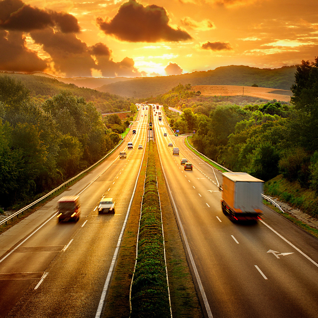
Toll Roads
Toll roads are a way to provide rapid and efficient transportation for large volumes of traffic. Toll roads should have multiple lanes, high access control, and limited or no grade intersections.
Arterials
Arterials are used to connect significant traffic generators and land use concentrations and facilitate large traffic volumes across a community. Arterials should include medians with intermittent center turn lanes when used in mixed-use corridors and centers. When used along commercial corridors, they should have a center lane to provide access.
Arterials design elements include:
- Four travel lanes
- Center turn lane or raised medians
- Minimal driveway cuts
- On-road bicycle accommodations
- Landscaped planting strip and sidewalk
- Transit accommodation like pull-outs for bus stops or u-turns
Pedestrian and Bicycle Facilities
There is an increased need for pedestrian and bicycle accommodations. Providing safe routes to walk, job, and bike is crucial to providing accessible transportation options and increase the quality of life. To create this accessibility, Leander will implement travel lanes, roadway medians, on-street parking, bike facility, sidewalks, and a pedestrian buffer.
Travel lanes
Travel lanes will be used by motor vehicles for the travel way or within travel boundaries. This includes dedicated bike lanes, shared bike lanes, and on-street parking.
Roadway Median
Roadway medians can be utilized to improve the safety and aesthetics of roadways with lower speeds or volumes. They can also help with access management or provide a pedestrian refuge area. They should be constructed at high speed, high traffic volume roadways.
On-Street Parking
On-site parking needs will vary by location and roadway classification. Traditionally, on-site parking is parallel parking, angle or reverse angle parking with a planting strip. The strip will increase pedestrian comfort and make mixed-use centers more appealing and accessible.
Bike Facility
Bike facilities have not been encouraged in Leander. However, now that population is growing and areas are more developed, the city is considering adding more bike facilities on-street and off-street. On-street facilities include bike lanes, shared lane marking, wide outside lanes or wide shoulders, while off-site facilities are bike trails or multi-use paths.
Sidewalk
Sidewalks are crucial to make pedestrian traffic possible. Providing sidewalks adjacent to the travel way and safe pedestrian crossings will help decrease motorist and pedestrian conflict.
Pedestrian Buffer
Pedestrian buffers are designed to provide vegetation or a natural area between the roadway and the pedestrian area. It will depend on the nature and classification of the road. The general rule is the higher speed the adjacent lane is, the wider the buffer should be.
Updates
In our last blog, we mentioned how many people commute in and out of the city for work and living. The city wanted to improve transportation to compel people to work and live in the same town. By improving transportation in the city, people don’t need to own more than one vehicle and drive further distances. Both of those factors drive up the cost of living, so improving transportation will decrease the cost of living in Leander.
The city had planned to finish these transportation projects by 2015 and 2016, one of them in 2017. The projects were Old 2243 West Reconstruction, Baghdad North Reconstruction, Municipal Drive Extension & Improvements, East Street, US183/183A Intersection Improvements, and a right turn on East Bound Crystal Falls PArkway at 183.
Fifteen miles of trails and sidewalks were recorded in 2015, and 140 more miles have been planned. There were 19 miles of bicycle and pedestrian trails, including six miles of connectors. 13 miles were primary trails, and one mile was a secondary trail.
It’s important for Leander to become a place residents can live, work, shop, walk, and bike all in one city. The goal is to enhance what’s already made and add more to become the ideal place for a resident to live.